A real white horse

The white horse at Uffington, taken on Sunday from about a couple of miles away - hence the rubbish resolution!
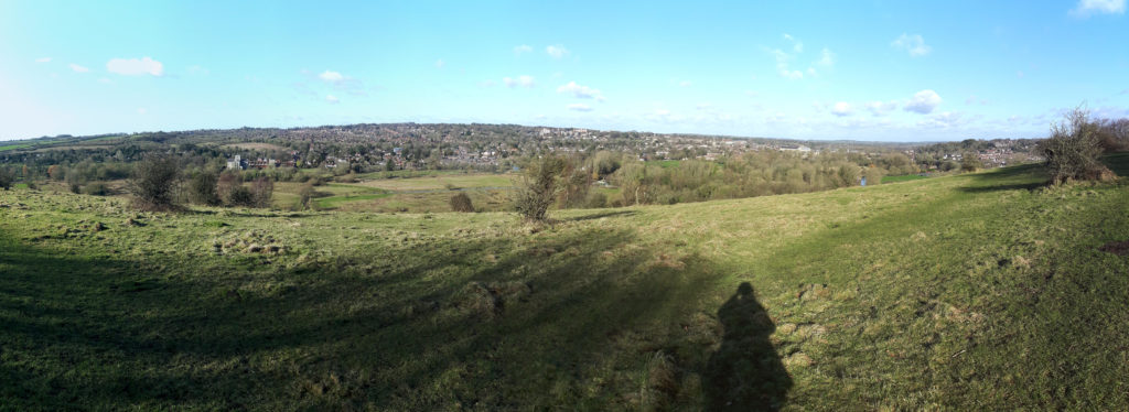
The walk took about 8 miles and just over three hours (part of the reason for the slow speed was the 500 feet climb onto the ridgeway!)

The White Horse, as seen from above